

Really active mires
In large valleys, "active" peatland (areas where peat is still being created today) is generally surrounded by wetland with wider variations in the watyer level of water. Consequently, these areas are no longer, strictly speaking, classified as mires.
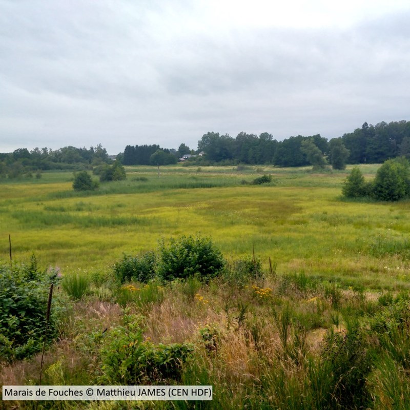
The areas are marshland, lying on clay or alluvium soils that are carried there by streams or rivers. They cover the old peaty layers.
In lowland areas with no links to valleys (the Souche, Sacy, Villiers marshes, etc.), the wetlands are also divided into various kinds, but peatland may still form relatively functional single areas.
The sites are characterised by ground water levels that are close to the surface, with a flow of underground water passing up through the peat and joining water networks at the surface.
They are called "phreatogenic" wetlands. Here, living conditions may be similar to the ones in the original peatland.
In the wide-ranging conditions existing today, turfigenous plants are mainly found on the edge of bodies of water resulting from the formation of peat ditches.
These plants also grow on the upper layers of peat. They spread locally beyond the banks when the underground water has sufficently saturated the soil.
Sub-soil areas at the root of peatland formation
Since the Last Glacial Maximum, some 20,000 years ago, wetlands in the Parisian basin (in the geological sense) have seen a marked expansion of peatland and especially alkaline fens.
Both in the Hauts-de-France region and in Wallonia, the subsoil contains thick layers of porous limestone that is ideal for infiltrating and storing water.
Underground waters help to supply local rivers and can also be seen at the surface in low-lying areas.
Sources can also be seen at the surface of inliers and outliers or plateaux, especially in areas in contact with impermeable layers.
When there is enough ground water to waterlog the soil or permanently flood it, then fens can develop.
This process has been going on for over 10,000 years. It has led to large amounts of peat being built up in marshland which has expanded with the help of post-glacial global warming.
The conditions giving rise to fens can be found in a range of different contexts: lake environments, slopes or in plains not far from the coast.
But most of all, valleys formed during cold periods have given marsh vegetation the room it needs to expand. This has led to peat accumulating at the bottom of valleys, like in the Somme, Avre, Authie, Sensée and Escaut.
Similar processes are still at work in peatland ecosystems today, but in recent times human activity and development have drastically changed the overall environment for fens.
The peat-producing plants which did not simply disappear after the peatland was dried out have had to adapt. Only the species with access to water in sufficient quantity and quality can still survive today.